Web apps · In progress
GeoMover
Tracks, places and maps – on your own device, with your own keys
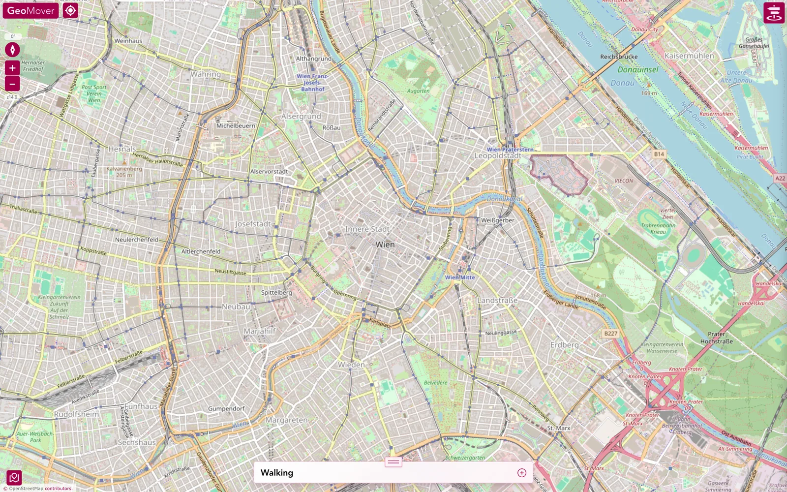
GeoMover records tracks, but above all it works with them: shows, cuts, joins and corrects them, gathers places along the way and hands everything back in common formats. Maps, weather and no-fly zones come from services of your choice, with your own key. None of it leaves the device.
The moment
What becomes of a track once it is recorded – and who owns it? GeoMover gives a clear answer: it stays on the device, and everything you do with it happens there.
The idea
Recording is the beginning. In the Track Studio, tracks are displayed, trimmed, joined, compared and snapped to road or trail; a 3D viewer flies them. Places – points of interest – get lists, tags, photos and notes and attach themselves to nearby tours. Maps, search, routing, weather, no-fly zones and 3D come from services of your choice: store your own key, and the service is there. Bring your own key.
Why it holds
A PWA stores on one single device. That is why export, backup and restore are not a side matter here but the core: GeoJSON, GPX, KML, GML and WKT go out, GeoJSON, GPX and OSM come in, and a backup takes everything along, photos included – from phone to desk and back. No account, no server, no network needed. GPS is enough.
What you can do with it
- Record tracks with your own activity presets – the screen stays awake, notes can be spoken.
- Import tracks from other apps: GeoJSON, GPX, OSM.
- Display, trim, join and compare in the Track Studio – and snap to road or trail, with undo.
- Fly a tour in 3D, with terrain and a camera of your choice.
- Collect places: lists, tags, icons, colours, photos, notes – created by press-and-hold on the map, by search or by import.
- Lay weather radar, satellite imagery and no-fly zones over the map.
- Connect maps, search, routing, weather and 3D with your own keys – bring your own key.
- Export everything: GeoJSON, GPX, KML, GML, WKT; packages with photos.
- Back up, restore, carry to another device. Without a network the app keeps running.
Good to know
- Vue 3, OpenLayers, IndexedDB – all local, offline too
- Maps from OpenStreetMap, Basemap.at, Mapbox, MapTiler, HERE and others, each with your own key
- Live weather radar and satellite imagery; no-fly zones from OpenAIP and Austro Control
- PWA
- Vue 3
- OpenLayers
- Bring your own key
- Nur lokal
Part
Product concept, map and location workflow, local data model, Track Studio, POI system, import and export, service integration on the BYOK principle, the complete PWA development.